PILSEN & surroundings, tourist & bicykle map 1:25 000 with 4 biketours
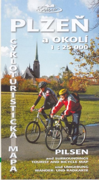
Map was created for Pilsen Municipality - for tourist promotion to cyclists. Basis of this map is completely new map piece in ratio scale 1:25 000 created by pilsner map publishing house RAMAP that knows Pilsen & surroundings well. Map set consists of the map sheet of 97cm x 69cm size and four separated cards 23cm x 12cm with biketours - for each cathegory of cyclists there is one biketour. The map takes in the territory from Vejprnice on the west to Rokycany on the East and from Třemošná on the North to the Štěnovice on the South including trails near Pilsner by-pass highway. Register of interesting places on the seam side is in Czech, English and German language.
And what I highly appreciate this map? This map includes tourist signing for walkers and cyclists and of course actual net of rural and forest roads marked according of their quality. It is the first map with all new trails nearby Pilsner by-pass highway. In the map you can find: signed cyclo routes, some recommanded cyclo routes (usually on the rural and forest roads). Four biketours on separated cards bring posibility to choose convenient biketour for every cyclist: yellow (for family with children), green (for simple cyclists), red (for long-distance cyclists) and black (for terrain-MTB bikers). Register of interesting places on the seam side is intended on nature and history but there are also bike shops and bike repair services, information centres and accomodation.
Published: in January 2007, by RAMAP publishing house Plzeň
Available: in infocentres, bikeshops and some bikeshops in Pilsen region
Price: CZK 79 (recommended price)
Updated: 30.12.2007
PLZEŇ enjoy it, city map (ratio scale is not shown)
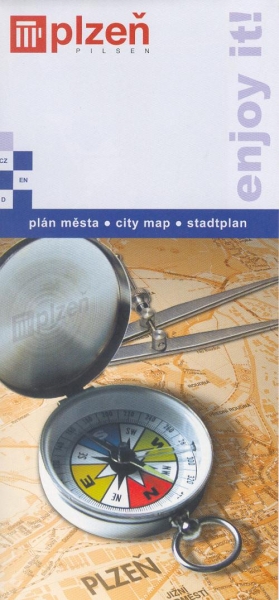
This map is part of promotion edition published by Pilsen municipality for tourists. The map sheet is 97cm x 69cm size folded on 10cm x 20cm. The map takes in the territory of the city of Pilsen including border parts of the „big Pilsen" such as Lhota, Křimice, Malesice, Bílá Hora, Červený Hrádek, Letkov or Černice. The map piece was created by pilsner map publishing house EUROVERLAG and includes the network of cycle routes mark out by violet colour. Street register, scaled map of downtown and public transport plan are on the seam side. Texts are published in Czech, English and German language.
And what I highly appreciated on this map? The most positive is that
the cyclist road network is connected and includes not only signed
cycle routes but also forest and rural roads convenient for bikes. It
is good map because there is the most dense network of roads for
cyclists. There are also marked dangerous places for cyclists in this
map. Unfortunatelly there is map without contour lines and the names of
digit signing of long distance cyclo routes. It can be problem for
incoming or transient foreigners. Ratio scale is not quoted there (but
in upper left corner of the map is visual scale on unit segment for 300
metres) and folding of the map is unusuall (not as common folding like
„accordion").
Published: in November 2007 by EUROVERLAG publishing house Plzeň
Available: in City Information Centre Plzeň
Price: CZK 16
Updated: 30.12.2007

